
 By Kylian Dev
How far is Isan from Bangkok?
Road distance and driving time from Bangkok to the main towns of the north-east.
| From Bangkok to | Distance by road | Driving time (no stops) |
|---|---|---|
| Buriram | 380.2 km | 4 h 54 |
| Surin | 424.1 km | 5 h 13 |
| Khon Kaen | 437.7 km | 5 h 23 |
| Udon Thani | 555.7 km | 6 h 52 |
| Nong Khai | 609.3 km | 7 h 37 |
These figures are an OSRM road estimate, 28/09/2026, with no stops: a car on a clear road, not a bus or train timetable. The south of the region (Buriram, Surin) is the easiest to reach; Nong Khai, on the Laos border, is a full day’s drive. To compare ways of travelling, see getting around Thailand.
What is Isan?
A region of its own, with its own language and landscape.
20 provinces
SizeThe largest region of Thailand, about a third of the country
Khorat Plateau
LandscapeA high plateau, cut off from central Thailand by the Phetchabun and Dong Phaya Yen mountains
Mekong
BordersThe river marks the border with Laos to the north and east; Cambodia lies to the south
Most people here are of Lao origin and speak Isan, a language close to both Lao and Thai with around 15 million speakers. Around Surin, in the south, you will also hear Northern Khmer. It is the poorest region of Thailand and still largely farmland: the hot, dry climate keeps harvests lower than elsewhere.
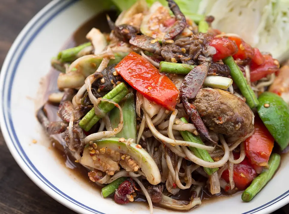
You have probably eaten Isan food already: som tam and grilled chicken are everywhere in Bangkok. More in our guide to Thai food.
Phanom Rung: the Khmer temple on a volcano
The reason most travellers go to Buriram.
Phanom Rung is a Hindu-Buddhist Khmer temple built on the rim of an extinct volcano, 402 m high. It went up between the 10th and 13th centuries, and its central sanctuary dates from the 12th century under Suryavarman II. The Fine Arts Department restored it from 1971 to 1988, and it opened on 21 May 1988.
Phanom Rung has been a candidate for World Heritage status since 2005, but it is not listed. Go for the site itself, perched on its volcano, rather than for a label.
Ban Chiang: the region’s UNESCO site
A prehistoric site in Udon Thani province.
Ban Chiang is an archaeological site in Nong Han district, Udon Thani province. Discovered in 1966, it is famous for its red-painted pottery and has been a UNESCO World Heritage Site since 1992. It fits naturally on the way from Khon Kaen to Nong Khai.
When is the Surin elephant festival?
The best-known event of the north-east.
- Every year, on the weekend of the third week of November
- Two days, at the Si Narong stadium in Surin
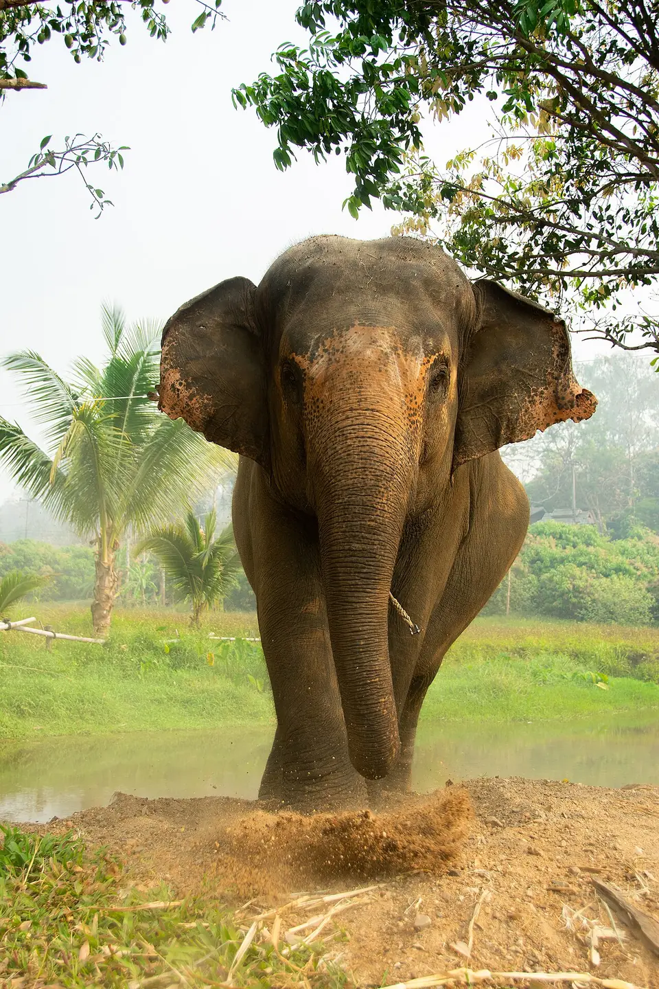
- Rooted in the royal elephant hunts of medieval times; the Kuy, the indigenous people of Surin, are traditional elephant trainers
The round-up puts elephants in front of a crowd. If you would rather see them without a show, read our guide to ethical elephant sanctuaries. Other dates for your trip are in our Thai festivals calendar.
Nong Khai, the Mekong and the road to Laos
The end of the line in Thailand, and the start of Laos.
Nong Khai is a provincial capital on the Mekong, 60 km north of Udon Thani. Just outside town, the first Thai–Lao Friendship Bridge crosses the river with a road and a railway, towards Vientiane, 25 km upstream. Formalities, visas and the other crossings are in our guide to Thailand’s land borders.
Want more of the Mekong? In the far north, the river forms the Golden Triangle near Chiang Rai.
Which town should you pick?
Choose by what you want to see, not by the map.
| Town | For | Nearby |
|---|---|---|
| Buriram | Khmer temples | Phanom Rung |
| Surin | The elephant festival in November | Si Narong stadium |
| Khon Kaen | A central base in the region | Ban Chiang, towards Udon Thani |
| Nong Khai | The Mekong and Laos | Friendship Bridge, Vientiane |
Isan is a detour from Bangkok, not a stop on the classic route. To place it next to the rest of the country, open our map of Thailand, then build your route in the itinerary planner.
Where these figures come from
Every figure on this page is checked.
- Region, languages, economy, sites and festival: Wikipedia (English, French and German).
- Town coordinates: Wikidata.
- Road distances and times: OSRM (OpenStreetMap’s routing engine), calculated on 28/09/2026 for a car, with no stops or detours.