
 By Kylian Dev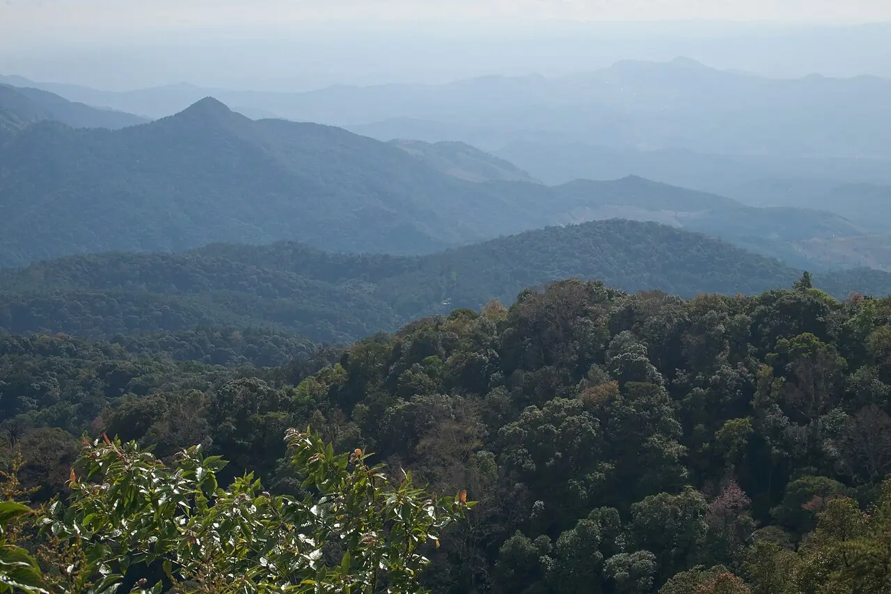
Doi Inthanon in a few figures
What is known, and where each figure comes from.
| Marker | Value |
|---|---|
| Summit altitude | 2,565 m |
| Doi Hua Mot Luang, another peak in the park | 2,330 m |
| Area of the national park | 482 km² (301,184 rai) |
| Road from Chiang Mai to the summit | 102.7 km, about 2 h 00 without a break |
Altitude and area come from Wikipedia, the road from an OSRM estimate of 28/09/2026. The mountain is named after Inthawichayanon, a grand prince of Chiang Mai. It rises in the Thanon Thong Chai range, in Chom Thong District.
Where is Doi Inthanon?
South-west of Chiang Mai, in the same province.
The park is in Chom Thong District, Chiang Mai Province, in northern Thailand. The nearest airport is Chiang Mai’s, code CNX; from there you reach the summit by road, 102.7 km. Many visitors go on an organised excursion, others hire a car or scooter for the day.
It is a day trip, not a stay: you go up, visit a few stops, then come back down. It combines well with another site nearby, and we cover that in our guide to day trips from Chiang Mai. For the rest of the north, see also Chiang Mai to Pai and Chiang Mai to Chiang Rai.
The season: the real subject
The chill at altitude changes everything.
In practice there are two good reasons to go in the cool season: the air is crisper and walking is pleasant, and the drive up happens without the stifling heat of the plains. The trade-off is that this is also when the chill is strongest at the top, and those who go up in summer clothes soon regret it. The rest of the year has its assets, notably very green vegetation, but you must accept the risk of an overcast sky.
In any case, leave Chiang Mai early: mist often settles in during the day, and views are usually better in the morning. Ask your accommodation about the state of the road and the day’s conditions before you commit, because the weather at the summit does not resemble the city’s.
What to see in the park
Viewpoints, a waterfall and a pagoda.
The summit
SummitThe highest point in the country, in mountain forest and often in mist
The royal pagoda
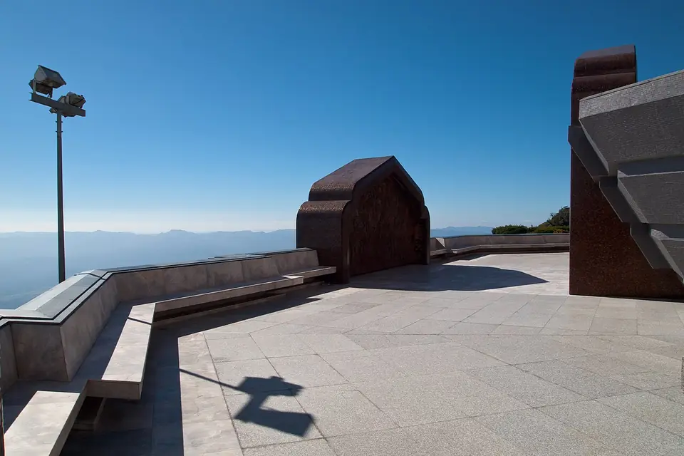
ViewpointA monument built up high, with wide views over the surrounding ridges
Siriphum waterfall
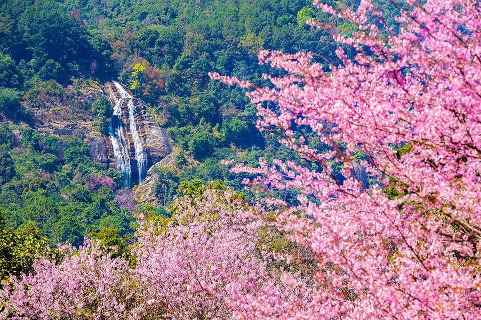
WaterfallA fall in the park, surrounded by greenery and flowers
The park is above all a place of nature: mountain forest, trails, viewpoints and villages. If you want something more active, the park’s trails allow it, but then you need more time than the simple excursion. The park also takes in other high ground, such as Doi Hua Mot Luang at 2,330 m, a reminder that the official summit is not the region’s only high point.
Who Doi Inthanon suits
A day in the mountains, not a destination in itself.
It suits people who like nature, mountain scenery and the idea of reaching a country’s highest point. It suits less those who dislike long winding roads, or for whom the chill and mist would spoil the day. To pick the best period, see when to go and the rainy season guide, then slot this day into your itinerary planner. From the capital, count the full journey in our guide from Bangkok to Chiang Mai and explore Chiang Mai before choosing your day. Treat it as one good day in the mountains, and plan the rest of your northern stay around it.